Wake up daily to our latest coverage of business done better, directly in your inbox.
Get your weekly dose of analysis on rising corporate activism.
The best of solutions journalism in the sustainability space, published monthly.
Select Newsletter
By signing up you agree to our privacy policy. You can opt out anytime.

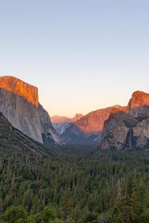
How National Parks Are Preparing For Climate Change Impacts
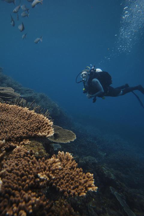
National park areas are not immune to the impacts of climate change. Some may be affected by sea-level rise, others by shoreline erosion, warming temperatures, changing rain patterns and groundwater inundation.
Many park areas are not standing idly by and waiting for those impacts to damage or destroy national treasures. Instead, they are taking action, as a report released in September reveals. Featuring 24 coastal adaptation efforts in 15 states, the report reveals how national parks are planning and preparing for climate change impacts. While some are conducting baseline data, others are engaging in historic preservation, archaeological surveys, habitat restoration and infrastructure design.
Protecting archaeological sites
Some of the most precious sites within national parks are archaeological ones. Preserving them is important to protect the nation’s history. And national parks are taking action to document damage and preserve archaeological sites, as a look at two parks featured in the report shows.The Goals Canaveral National Seashore in Florida has several of the largest, most intact and most significant prehistoric shell mounds in North America. Four of them (Turtle Mound, Ross Hammock, Castle Windy and Seminole Rest) are threatened by erosion caused by sea-level rise and increased storm activities. These four mounds are key prehistoric and proto-historic monuments and settlements. Turtle Mount is one of the tallest shell mounds in North America at 37 feet high. It is made up of mainly oyster and clam shell that form two main peaks. There has been very little archaeological documentation of Turtle Mound, Castle Windy and Ross Hammock.
Unfortunately climate change effects are causing what the report describes as “severe, measurable and detrimental impacts” to the mounds, including erosion. Impacts from both sea-level rise and increased storm activity are likely to continue to accelerate the impacts, leading to “eventual total loss of site integrity.” However, the NPS is addressing the threats to the mounds. Some actions include:
- A project designed by NPS Southeast Archaeological Center to document the source of the threats, offset stressors, and interpret the change.
- The center is spatially mapping and documenting the current cultural landscape and recovering important archaeological, environmental, and paleoecological data before significant parts of the mounds are lost.
- On-the-ground conservation and stabilization methods and techniques are being employed to strengthen, protect, and stabilize eroding mounds with soft armoring and living shoreline techniques. Through this approach, cordgrass and mangroves are planted in the inter-tidal zone, bags of oyster shells are put seaward of the cordgrass, and oyster restoration mats are placed seaward of the bags.
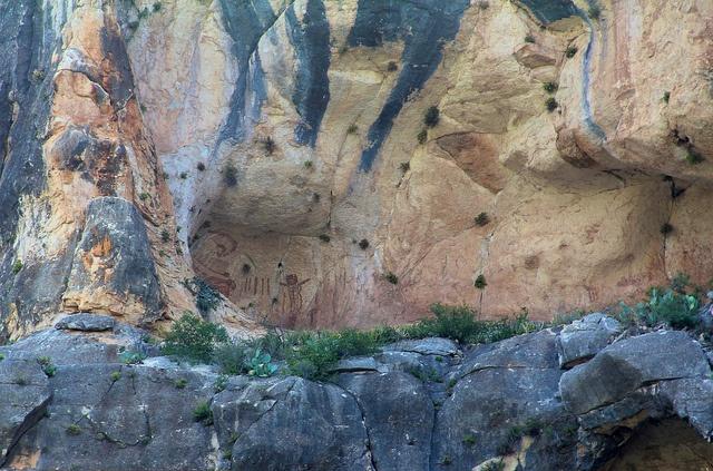
One of the problems plaguing Amistad’s archaeological sites is that land previously inundated with water is exposed to erosion by wave action along the shoreline. Erosion has impacted several burial sites and caused damaged. The sites on recently exposed lakebed are very visible and vulnerable to looting by park visitors. Backcountry boating and camping activities such as clearing ground for tents can cause damage. Two of Amistad’s most significant rock art sites, Panther Cave and Rattlesnake Canyon, are threatened by flash-flood waters due to silt that decreases the capacity of the lake.
Knowing the extent of the damage is key. Park personnel are spending time assessing conditions and documenting problems on exposed sites. For example, Amistad has recently completed a photo documentation project at Panther Creek using Light Detection and Ranging (LiDAR), a remote sensing method. The park also collaborates with Texas Parks and Wildlife Department and Shumla to create outdoor experiential learning experiences for area schools. Through the program, children are introduced to the area's cultural and natural resources, but more importantly, instill responsibility and stewardship for nature and archaeological sites.
Image credit: Flickr/Clay Junell
Gina-Marie is a freelance writer and journalist armed with a degree in journalism, and a passion for social justice, including the environment and sustainability. She writes for various websites, and has made the 75+ Environmentalists to Follow list by Mashable.com.